I went on a family trip to the Point Reyes area and was able to get away for a couple of hours to activate what looked like a drive up summit, or close to it. Our cottages were a couple of miles from Mount Vision Road, which starts the drive up on a single lane well paved road. There are a few switchbacks but in general the road is a very easy drive and just about any type of vehicle could make it, including a bicycle.
At the top is a dirt parking area that's about 1700 ft away from the summit, with about 95 ft of elevation gain. An easy hike from the lot. I parked alongside a few other vehicles.
The trail was wide and well maintained. It was a very gradual upward slope. A wheel chair probably could make it most of the way up, except the last hundred feet or so to the very top. It could certainly get into the activation zone.
Along the way there's one spot that is within the activation zone with a tree you could use to hold your antenna. You could stop here and activate, but I decided to keep going.
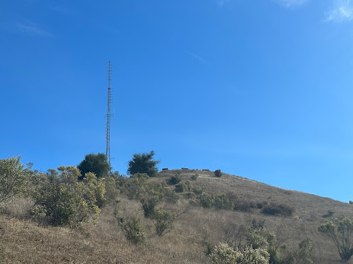
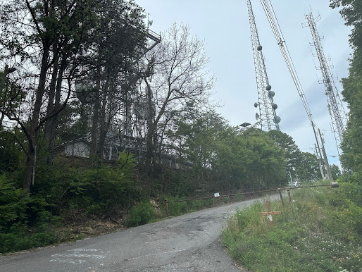
At the top there are a few transmitter towers.
Although this is in the activation zone, if you get this close you did miss the trail to the summit proper, so you'll have to backtrack a bit to get back to the trailhead. You want to take the Bucklin Trail to the very top. This part is a more narrow trail, and it's only a hundred feet or so.
This trail circumvents the FAA navigation station that is on this summit. There's a sign warning you not to trespass and a white fence separates the facility from the public area.
I used the SOTAGoat app to try to get it zeroed, and because of some dense brush I wasn't able to get exactly where it thought the summit was.
But right at the top is a nice bench you can activate from. I strapped my push up mast to the white fence behind the bench. I had one bar of AT&T service so I was able to self-spot. 10 meters was fairly open this day but I didn't get a ton of contacts like I was expecting. When I tuned to 40 I got a lot of the regular chasers. It was a successful activation. It was late October in the late afternoon and a little windy and chilly, so I packed up and went back to the cottage.
I thought I'd try to activate it again later because we were going to be there for a few days. But when I went back on Sunday, the drive up Mount Vision Road was closed off due to "fire danger". I'm not sure how you would check this in advance, but be aware that the access road could be closed at times.
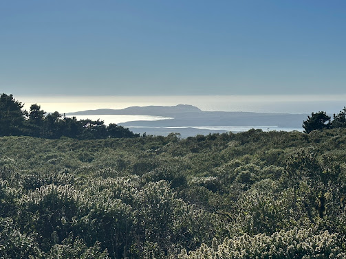
The views were nice, but not spectacular. In fact, a lot of the better views of the ocean were on the road turnouts on Mount Vision, so spend some time pulling over on the way back.
The other thing I learned, unfortunately too late, was there was a very small ~600ft summit down in the park right by the lighthouse (W6/NC-542). It's between the parking lot and the visitor center. I had walked all the way out to the lighthouse and back, and I'm sure I was in the activation zone along the way. I didn't realize it was even there until I got back to the cottage. So that would be another easy 1 pointer you could do in the same day.
Note: the 145.17 2 meter repeater that is supposed to be on this hill wasn't working the day I was there.


Comments
Post a Comment